
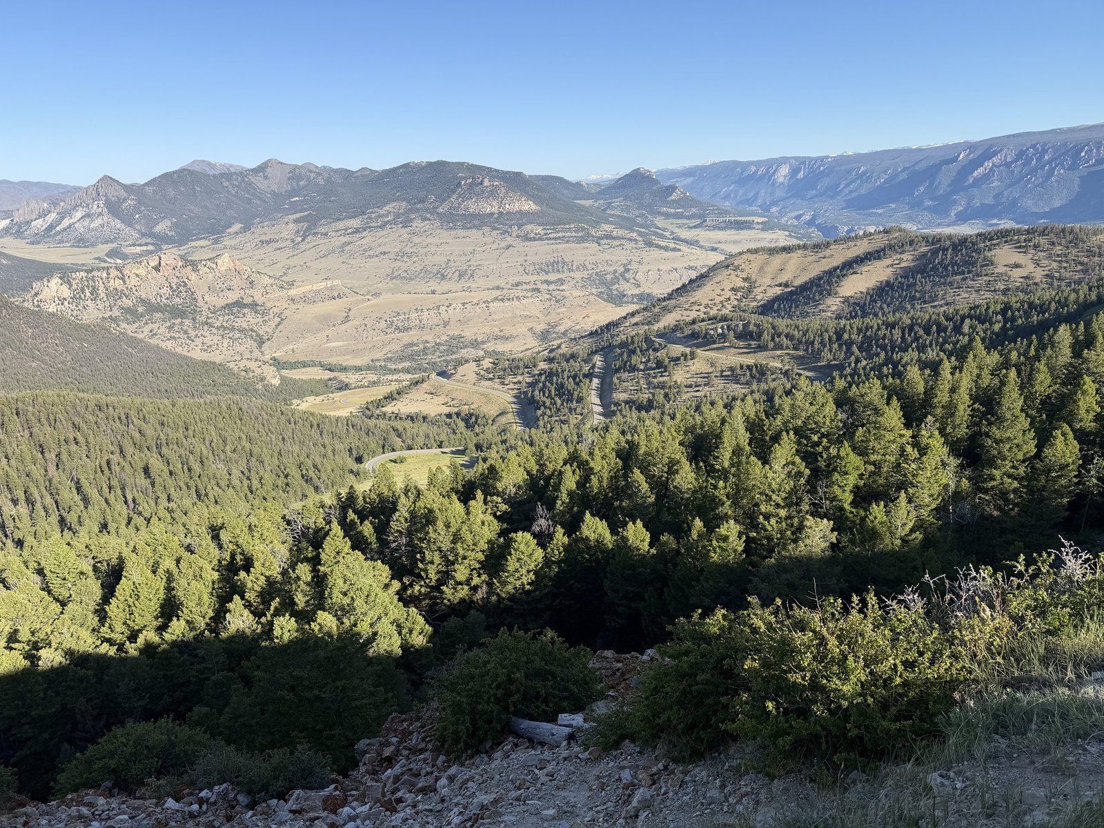
Some drives deliver on their reputation. Some don’t. The Beartooth Highway delivers on every promise, and the Chief Joseph Scenic Byway that connects it to Cody delivers on promises most people didn’t know had been made.
Disclosure: Some links on our site are affiliate links. If you purchase a linked item, we will make a commission, at no extra charge to you.
Together they form a loop that begins and ends in Cody, covers some of the most dramatic terrain in the American West, and takes a full day to do properly. We went expecting something remarkable. We got exactly that.
Why Do Both — And Why Do Them Together
The Beartooth Highway gets the attention. It appears on every list of America’s greatest drives, every road trip bucket list, every Wyoming travel guide worth reading. Charles Kuralt called it the most beautiful drive in America. That reputation is earned.
The Chief Joseph Scenic Byway — Wyoming Highway 296 — gets almost none of that attention. It connects Cody to the Beartooth Highway through Sunlight Basin, covers 46 miles of mountain scenery that would be nationally famous if it existed anywhere near a major population center, and crosses Wyoming’s highest bridge along the way. Most people who drive the Beartooth have never heard of it.
Doing both as a connected loop from Cody — Chief Joseph first heading northwest, Beartooth coming back east through Red Lodge and down — is the move. The Chief Joseph is intimate, valley-focused, the kind of road that puts mountain walls close on both sides and makes you feel like you’re moving through something rather than above it. The Beartooth is exposed, vast, and by the time you reach the summit plateau you’ve left the familiar landscape categories behind entirely. Together they make a single experience greater than either one alone.
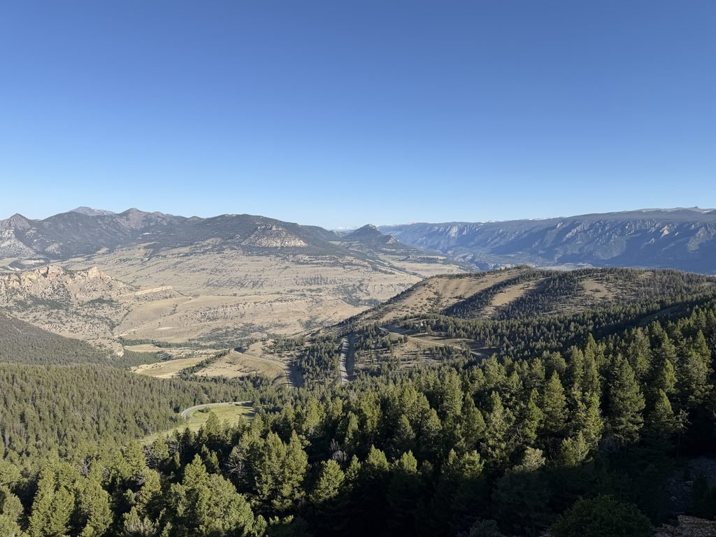
The Chief Joseph Scenic Byway
Leave Cody heading north on Highway 120, then west on WY-296. The Chief Joseph Scenic Byway begins almost immediately and the landscape starts changing within minutes.
The highway is named for the Nez Perce leader who led his people through this corridor in 1877 during one of the most remarkable military retreats in American history — 800 men, women, and children covering 1,170 miles through some of the most difficult terrain in the West while being pursued by the U.S. Army. The land you’re driving through carried that story before it carried a paved road.
Sunlight Basin opens to the west as you climb — a broad, high valley ringed by peaks that stops the car. We pulled over and sat with it for a while. There’s no particular reason to stop at that specific point beyond the fact that the view demands it, which is reason enough.
Sunlight Bridge comes next, crossing the Sunlight Creek gorge 287 feet above the canyon floor. It is Wyoming’s highest bridge, and the view from the roadside pullout takes a moment to process. Dogs are welcome at the pullout. Gracie was less interested in the view than in whatever was living in the rocks below. Loki assessed the situation and declined to approach the edge, which we respected.
The byway continues climbing through forest and open meadow to the junction with the Beartooth Highway at Cooke City. The whole drive takes about an hour and a half without stops, longer if you do it correctly.
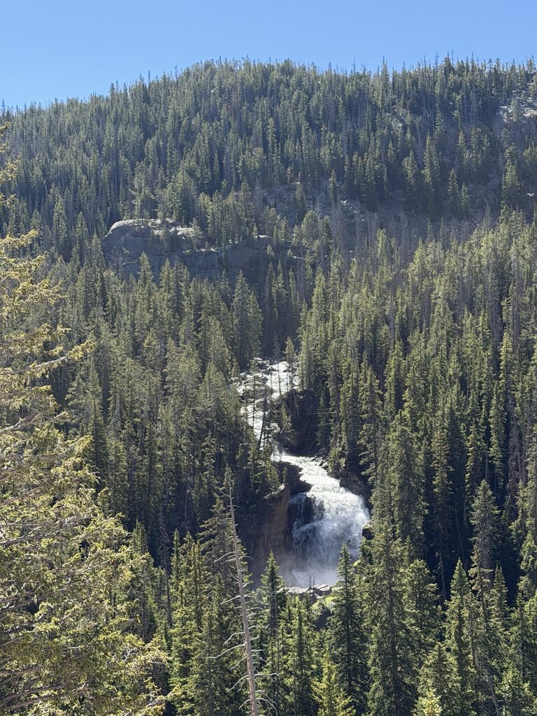
The Beartooth Highway
The Beartooth Highway runs 68 miles between Cooke City, Montana and Red Lodge, Montana, climbing from roughly 7,500 feet at Cooke City to 10,947 feet at Beartooth Pass — the highest elevation highway in the Northern Rockies. It was completed in 1936 after years of construction through terrain that resisted every attempt to cross it.
The climb is what stays with you.
The switchbacks begin outside Cooke City and the road starts doing things that seem improbable for a paved highway — tight turns carved into cliff faces, guardrails on one side and open sky on the other, the valley floor dropping away below in a way that makes it impossible not to track how high you’ve already come. The Beartooth switchbacks were the strongest single moment of the entire drive. Not because they’re dangerous — the road is well maintained — but because the elevation change happens fast enough to feel physical. Valley floor to alpine tundra in one continuous climb.
The summit plateau arrives without drama and then it’s all drama. At nearly 11,000 feet the landscape is arctic — flat, treeless, rocky, and vast in a way that doesn’t feel like Wyoming anymore. Snow lingers in patches through July. The sky is closer than it should be.
Pull over at every overlook. Mountain goats are occasionally visible on the rocky slopes near the summit. Marmots are reliably present — they sit on rocks at the roadside and watch traffic pass with the confidence of animals that understand they’ve chosen the best real estate available. The dogs noticed the marmots. The marmots were unbothered.
The descent toward Red Lodge on the eastern side is the mirror image of the climb. Red Lodge is a pleasant small Montana town worth a brief stop before the return drive to Cody.
The Return to Cody
From Red Lodge the return to Cody loops back via Highway 212 and 296. The late afternoon light on the Chief Joseph return hits the canyon walls and the basin in a way that’s completely different from the morning. We shot more on the return drive than the outbound. The Sunlight Bridge pullout in late afternoon light is a different photograph from the same pullout in morning shadow.
Practical Notes
- Start early. By 8AM at the latest. Afternoon thunderstorms build at elevation reliably in July — the summit plateau is exposed and the weather can change from clear to dangerous faster than you’d expect.
- Bring layers. The summit is cold in July. Not cool — cold. We wore jackets we hadn’t needed in Cody all week.
- Fill the tank before you leave Cody. Gas is available in Cooke City and Red Lodge but at a premium.
Allow a full day. The combined loop is roughly 200 miles with stops. Plan to leave by 8AM. Dogs at pullouts are welcome throughout — no trails required, no boardwalks, no restrictions beyond the leash. Both Loki and Gracie made the full loop. The summit pullouts at nearly 11,000 feet are possibly the highest elevation either of them had ever been, which they managed without apparent concern for the significance of the occasion.
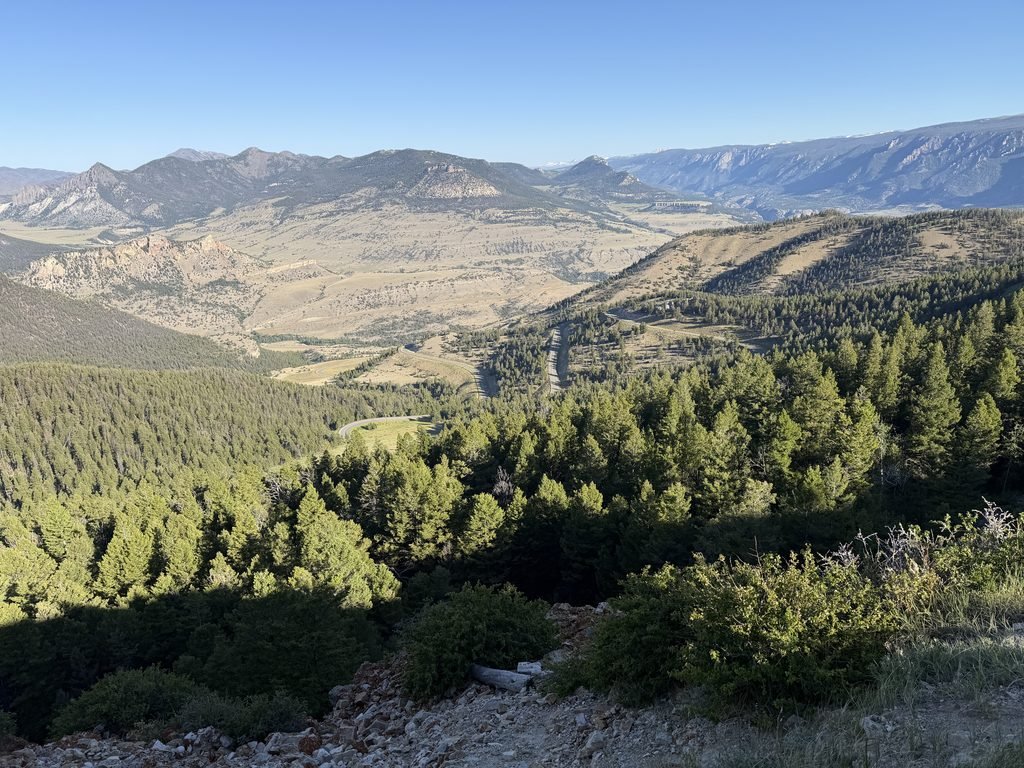
What the Drive Tells You
There’s a version of Wyoming that exists in the imagination of people who haven’t been here — open rangeland, oil derricks, flat horizon. The Beartooth Highway and the Chief Joseph Scenic Byway are the correction to that version.
The elevation change from the Cody basin floor to the Beartooth summit plateau — from just under 5,000 feet to nearly 11,000 feet in a single continuous drive — covers more ecological zones than most road trips cover in days. Sagebrush desert to mountain forest to alpine tundra to arctic plateau, all in a morning, all visible from the road.
It delivered on every promise. That’s not something you can say about many things, and it’s worth saying when it’s true.
The Chief Joseph Scenic Byway (WY-296) begins north of Cody on Highway 120. The Beartooth Highway (US-212) connects at Cooke City, Montana and runs to Red Lodge, Montana. Check road conditions at wyoroad.info before you go. Dogs welcome at all roadside pullouts. Allow a full day, start no later than 8AM.

Angela DiLoreto is a bestselling author, former Fortune 500 marketing executive, and a passionate advocate who successfully worked to change stalking laws in several states after a family friend was murdered by her stalker. That fight — for justice, for voices that weren’t being heard, for stories that needed to be told — runs through everything she does. She and her husband Vince travel the country by RV with their two rescue chihuahuas, Gracie and Loki, chasing history, great food, and the overlooked people and places that shaped America. Angela created Fitting in Adventure and the Historic Footnotes series because the best stories are usually the ones nobody’s heard yet.