
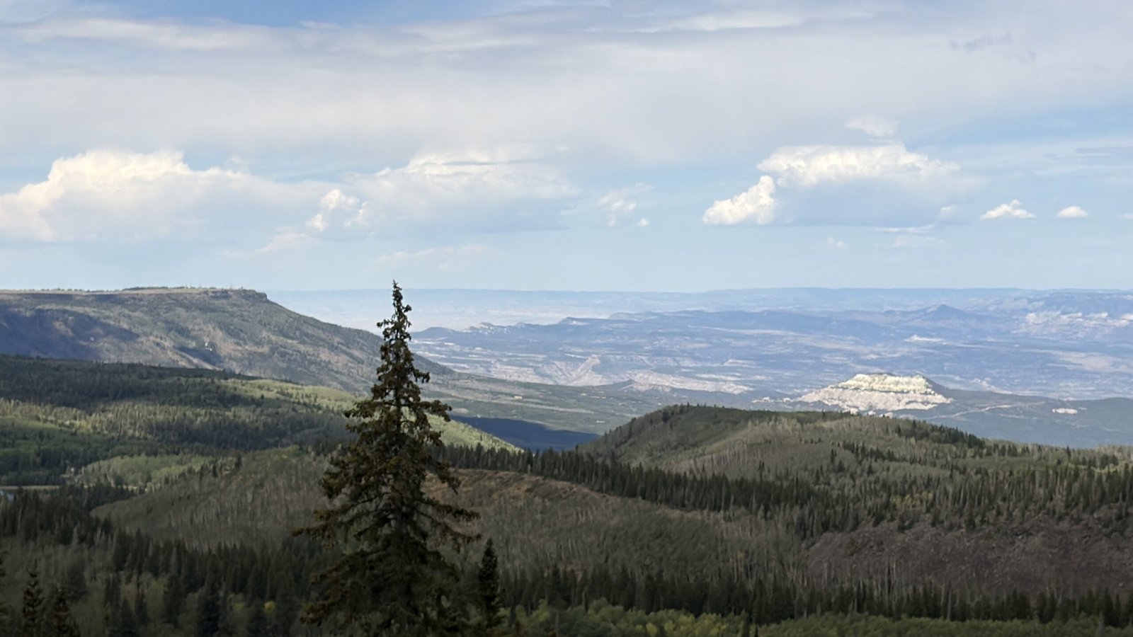
From high desert at 4,500 feet to alpine meadow at 11,000 — what to expect on the drive, what to know about the weather, and why most people on I-70 have no idea this is up here.
Disclosure: Some links on our site are affiliate links. If you purchase a linked item, we will make a commission, at no extra charge to you.
The elevation change happens fast enough that you feel it before you fully register it. We started in Grand Junction — high desert, red rock, juniper scrub. The road started climbing. Pinon pine gave way to oak brush, oak brush gave way to aspen, aspen gave way to spruce, and somewhere in the spruce we stepped out of the truck and the air felt like a different month entirely.
The mesa was cold. Then it started raining.
We ran for the truck. The Grand Mesa Scenic Byway had made its point: this is not an extension of the desert below. It is its own place, with its own weather, and it doesn’t warn you.
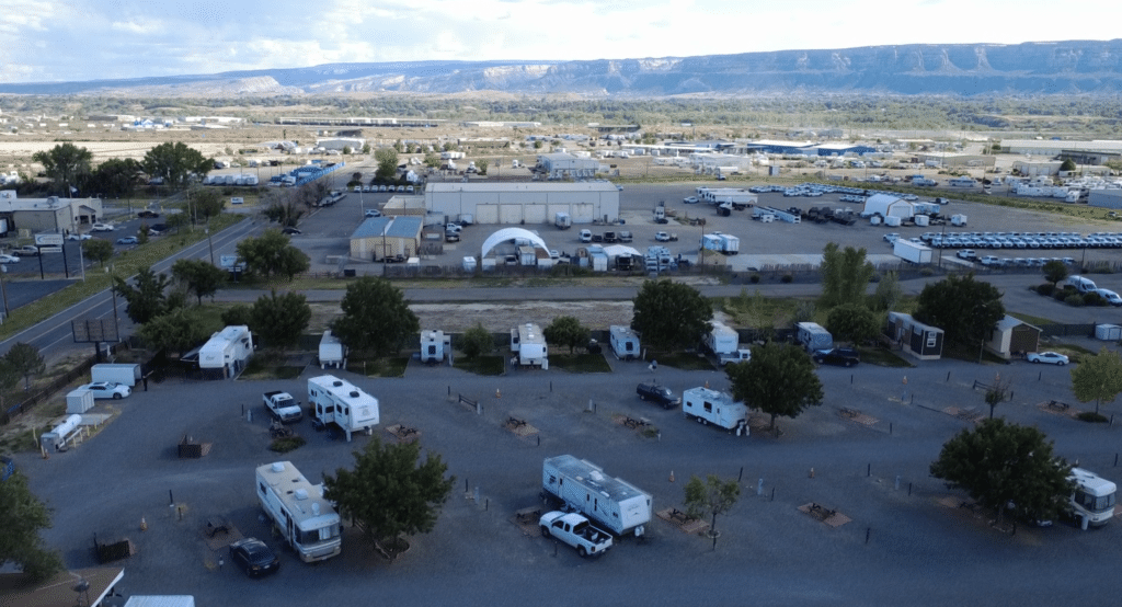
🏕 Where We Stayed — Junction West RV Park
Junction West RV Park, Grand Junction CO | junctionwestrvpark.com
We based out of Junction West — the Grand Mesa byway starts almost directly from Grand Junction. Disclosure: our stay was hosted by Junction West RV Park. All opinions are our own.
What Grand Mesa Actually Is
Grand Mesa is the largest flat-top mountain in the world — a basalt-capped plateau stretching roughly 50 miles at over 10,000 feet. The Grand Mesa Scenic Byway — Colorado State Highway 65 — connects Grand Junction on the north to Cedaredge on the south, climbing over the mesa through five distinct vegetation zones in roughly 35 miles.
Driving the Byway — What Changes as You Climb
High desert to pinon-juniper (4,500 – 6,000 ft)
The drive starts in Grand Junction’s high desert. Within the first few miles heading south on Highway 65, the terrain rises and the vegetation changes — pinon pine and juniper appear as the road begins climbing.
Gambel oak and scrubland (6,000 – 7,500 ft)
Gambel oak, mountain mahogany, serviceberry. Views back toward the Grand Valley open up behind you. The temperature is already noticeably different from the desert floor.
Aspen groves (7,500 – 9,000 ft)
The aspens arrive and the mood of the drive changes completely. In late September this section turns orange and gold for fall color. In August the aspens are full green and the air coming through the windows is cool enough to reach for a jacket.
Spruce and fir — the summit (9,000 – 11,000 ft)
Old-growth spruce and fir country — dense, cold by western Colorado standards, and where the summer monsoons arrive without much notice. We stepped out at the top and the temperature had dropped so far it was disorienting. Then the rain started.
Land’s End Overlook — The One We Didn’t Reach
Land’s End Overlook is 12 miles off Highway 65 on Land’s End Road — paved transitioning to maintained dirt. At the end of it, the mesa literally ends in a cliff dropping 6,000 feet to the Grand Valley, with views taking in the La Sal Mountains in Utah 120 miles out.
We didn’t make it. The rain hit before we reached the turnoff and we turned around. That’s the honest version — worth knowing before you plan this drive. August is monsoon season on Grand Mesa. Check the mesa weather forecast specifically, not the Grand Junction forecast. The conditions at 11,000 feet operate independently.
The Lakes and the Top of the Mesa
Grand Mesa holds more than 300 lakes — the highest concentration of natural lakes on any flat-top mountain in the world. Most of Grand Mesa falls within National Forest land where pets are welcome off-leash under voice control, a genuine relief after a week of paved-surfaces-only restrictions at the national parks. The top of the mesa feels like a different season than the canyon country below.
Best lakes to visit
- Lost Lake — 2.5-mile round-trip hike, flat, easy. Spruce reflection on the lake surface rewards an early start.
- Island Lake — Short drive off the main byway. Good fishing.
- Vega Reservoir — Largest lake on the mesa, accessible from Vega State Park on the eastern edge.
Practical Information
August weather — the honest version
Late July through September is monsoon season on Grand Mesa. Afternoon storms move in quickly at elevation — clear skies in Grand Junction mean nothing at 11,000 feet. Go in the morning when conditions are most stable. If you’re planning specifically for Land’s End, build in weather flexibility.
RV access
Highway 65 is fully paved and accessible for most RVs. Land’s End Road is maintained dirt and not recommended for large rigs or fifth wheels. Drive the tow vehicle for Land’s End.
Time needed
The full 63-mile byway from Grand Junction to Cedaredge takes about 2 hours without stops. A round trip from Grand Junction with time at the top runs 4 to 5 hours.
Frequently Asked Questions
Can I drive Grand Mesa in my RV or fifth wheel?
Highway 65, the main byway, is fully paved and handles most RVs. Land’s End Road is maintained dirt and not recommended for large rigs — drive it in your tow vehicle.
Is Grand Mesa worth the drive from Grand Junction?
Yes — the byway starts almost directly from Grand Junction, the elevation change is dramatic enough to be the experience itself, and the top is a completely different world from the canyon country below.
What is Land’s End Overlook?
A viewpoint at the western edge of the mesa where the plateau drops 6,000 feet to the Grand Valley. 12 miles off Highway 65 on Land’s End Road. Views take in the La Sal Mountains 120 miles out. Check road conditions before going, especially after rain.
When is the best time to drive Grand Mesa?
July through September for summer conditions. Late September through mid-October for fall color in the aspen zone. Avoid the byway immediately after heavy rain if you’re planning Land’s End — the dirt road becomes difficult quickly.
Are pets allowed on Grand Mesa?
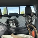
Most of Grand Mesa is National Forest land where pets are allowed off-leash under voice control. Leashes required in developed campgrounds.
Explore More — Grand Junction
- Things to Do in Grand Junction, Colorado — the full guide to the region
- Colorado National Monument + Rim Rock Drive — 23 miles of canyon rim and the man who built it by hand
- Black Canyon of the Gunnison — South Rim overlooks and the canyon’s remarkable geology
- Palisade Peach Season — the market, the festival, and the history of the orchards
- Dinosaur Country — Fruita — Trail Through Time, Dinosaur Journey Museum, and Mike the Headless Chicken
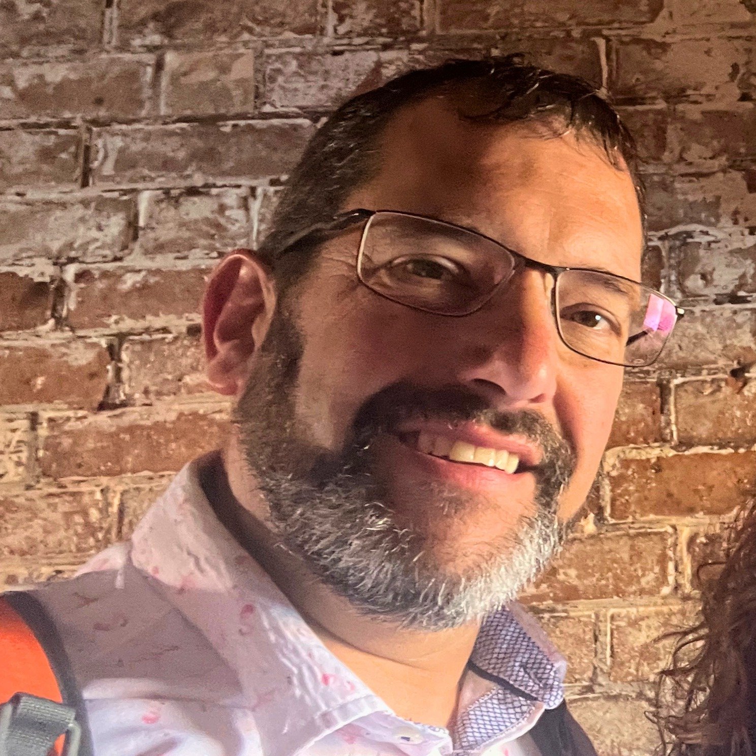
Vince DiLoreto spent 20 years in the United States Air Force seeing the world before deciding to see it properly — this time with a camera, an RV, and considerably better food. A trained photographer and the visual half of Fitting in Adventure, Vince captures the places, people, and moments that make every trip worth telling. When he’s not behind the lens, he’s behind the wheel, which means he’s seen every gas station between Florida and the Pacific Northwest.